Geospatial data processing

Geospatial data processing services. Data conversion, sorting, and analysis. Geographic information systems, cartography consulting, and preparation of materials, as well as maintenance and deployment services of geospatial databases and geographic information systems services.

Geospatial data analysis and auditing

We will create an audit and recommend using your geospatial data more effectively in your daily work.

Geospatial data migration

Platform and system migration services to move your geospatial data to another system. For example, CAD data processing and migration to GIS systems.

Geographic information system server maintenance

Our geospatial data system server maintenance service is designed and customized based on the specific infrastructure of this system.

Technical support

We provide technical support and consultations throughout our cooperation.

QGIS training

Our team is the first in the Baltic States to be certified in QGIS program training. These tutorials allow our clients to use better the Go GIS solution we have developed and provide the necessary support to develop the app's usage skills. Apply for training at [email protected].

Training plan

The training plan is designed so that during one working day, you will acquire the necessary skills to prepare and analyze geospatial data. Even without previous experience, after the first day of training, you will learn to perform the basic functions of geographic information systems - add and edit data and perform simple data analysis. On the other hand, if you have previous experience using geographic information systems, then we will teach you how to use QGIS even more effectively. Face-to-face training is organized in small groups of up to five participants.

Training content

During the training, you will get an idea of the following features of geographic systems: editing, adding and processing data, adding WMS services, selecting and filtering data, and exporting maps.

Where do the trainings take place?

We offer face-to-face training at the SunGIS office in Valmiera, but we can also come to the place and time of your choice or online.

How much does QGIS training cost?
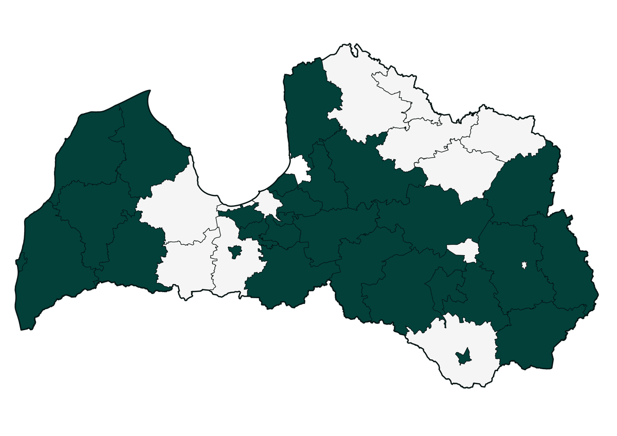
The cost for QGIS training for one person is 250 euros + VAT. A certificate recognized by the QGIS community will be issued upon completion of the training.

Our clients

SunGIS products are widely used in the largest municipalities of Latvia to enhance the effectiveness and transparency of daily work. The company has developed several projects, including the Go GIS spatial data management tool and other products such as GABALS.LV, a solution for forest inventory specialists, and Topogrāfija.lv for forest surveyors.

SunGIS klientu karte